
All Ages and Abilities Cycling Network
Public consultation on the priority AAA cycling network is now complete. In 2023 and 2024, construction of the final priority routes will take place.
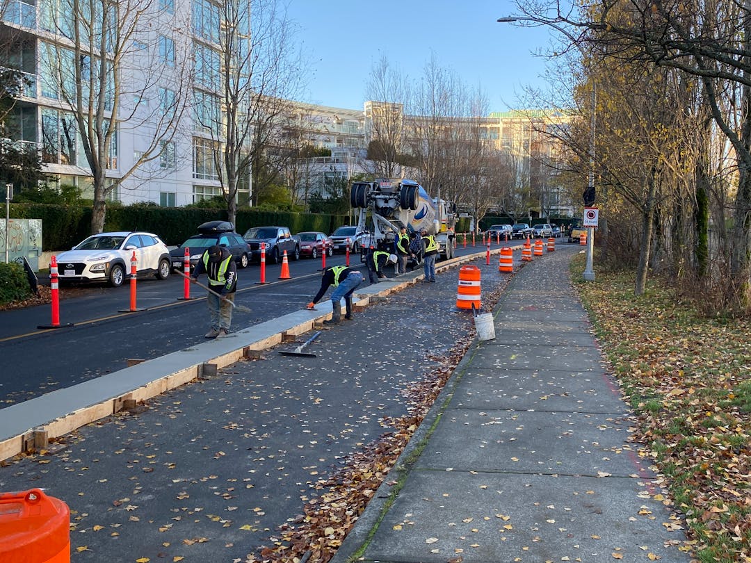
- James Bay Transportation Improvements - construction underway until Fall 2023
- Fort Street East - construction underway until Fall 2023
- Gorge Road - construction planned for Fall 2023
- Pandora East - construction planned for 2024-25
Stay tuned for future engagement opportunities on active transportation projects. To receive construction updates for any or all of the remaining routes, or to receive our general active transportation updates, email engage@victoria.ca to be added to our email distribution lists.
About the Network
The City is building a 33km priority network of All Ages and Abilities (AAA) cycling infrastructure to improve road safety and provide affordable transportation options for residents. Our goal is to provide safe, comfortable connections for people who want to ride more often or who are concerned about safety to access schools, parks, community centres, regional trails, and destinations throughout our community. The Cycling Network plan was adopted in 2016.
You ask, we answer
Do you have any questions about the proposed designs or the corridors that are open for input? Ask them here and project staff will answer them as soon as possible, within 3 business days.
Please do not share any personal information as the questions and answers will be visible by the public. You will receive notification when your question is answered.
You can also direct questions or comments to engage@victoria.ca and your email will be forwarded to the appropriate staff member for response.
-
Hello I’m looking for the safest cycle route to the Oakbay Hotel from downtown Victoria Thanks
Hi there, thank you for your question.
From downtown Victoria, you could travel to the District of Oak Bay on AAA cycling routes via Wharf, Humboldt, Vancouver then Richardson Street.
Richardson Street would take you to City limits at the District of Oak Bay. Once in Oak Bay, you could continue down McNeil Ave to Newport then Margate Ave. to reach Beach Road, where the Oak Bay Beach Hotel is located.
I've attached a screenshot of this route option, drawn over the CRD's Regional Bike Map.
The CRD Bike Map, available online here: Find a Bike Map | CRD, is a helpful resource for route planning.

Who's Listening
-
City of Victoria

Email engage@victoria.ca
Additional Documents & Resources
-
 AAA Network Map Oct_22.pdf (776 KB) (pdf)
-
James Bay Engagement Summary.pdf (19 MB) (pdf)
-
James Bay Proposed AAA types map.pdf (6.87 MB) (pdf)
-
James Bay East West Route Options (48.4 MB) (pdf)
-
Revised Design - Superior Street .pdf (19.1 MB) (pdf)
-
Revised Design- Michigan Street.pdf (16.1 MB) (pdf)
-
Revised Design- Montreal St.pdf (18.4 MB) (pdf)
-
Revised Design- Government St - Humboldt to Toronto.pdf (15.7 MB) (pdf)
-
Revised Design - Government St - Toronto to Dallas.pdf (17.3 MB) (pdf)

Signup Banner
